Structured Insights for Informed Decisions
ADVANCED AERIAL INSPECTION & ASSET DOCUMENTATION
Elevation Asset Solutions, LLC provides professional aerial inspections, high-resolution imaging, thermal data collection, and structured visual documentation for commercial, industrial, construction, and property clients throughout Texas.

What Makes Us Different
Inspection-Focused Approach
Our work emphasizes clear imagery, consistent capture methods, and useful documentation—not simply flying a drone.
Safety-Conscious Operations
Flights are planned around site conditions, airspace requirements, and operational risk.
Organized Digital Deliverables
Images and supporting records are organized for straightforward review, sharing, and future reference.
Industrial and Construction Perspective
Our background in quality control and construction documentation helps us understand what clients need to see.

Services


Telecommunications Tower Documentation
Industrial & Infrastructure Inspections
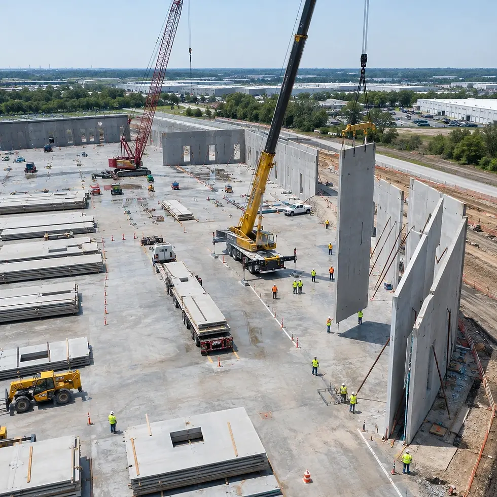
Construction Progress Monitoring
High-resolution aerial photographs and video of towers, antennas, mounts, and structural features to support maintenance and client review.
Detailed visual documentation of accessible infrastructure, facilities, and hard-to-reach assets with inspection-ready records.
Repeatable aerial documentation of active construction sites and milestones to help project teams compare progress over time.


Thermal Imaging & Data Collection
Asset Inventory & Visual Records
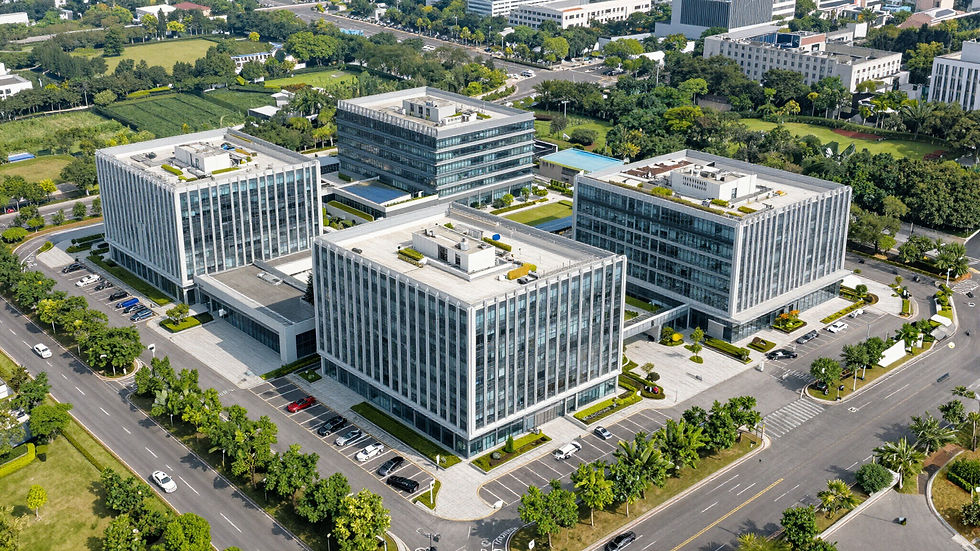
Aerial Photography & Property Documentation
Aerial thermal and visible-light image capture to support authorized inspections of buildings, equipment, and infrastructure.
Systematic aerial photography of equipment and facility assets, organized into digital records for reference and planning.
Aerial photos and video for properties,
land, and infrastructure inspections,
reports, and project records.
Documented Precision
Consistent Capture
We use planned flight paths, practical shot lists, and repeatable documentation methods to create useful visual records.
Quality-Focused Review
Utilizing advanced UAS technology to provide organized visual information that enhances credibility with industrial clients.
Asset Strategy
Developing long-term documentation strategies that transform raw data into structured digital records for project clients.
Qualifications & Safety
FAA Part 107 Certified
Fully licensed by the Federal Aviation Administration for commercial UAS operations in the National Airspace System.
ITC Level 1 Thermographer
Professionally trained in infrared science and thermal data collection for accurate industrial asset assessment.
OSHA 30 Certified
Deep commitment to job site safety and compliance with standard industrial and construction safety regulations.
UAS Insurance Coverage
Fully insured for commercial liability, providing peace of mind for every flight and project location.
Advanced UAS Hardware
Operating high-end DJI Enterprise systems equipped with high-resolution and high-sensitivity thermal sensors.
Texas-Based Support
Deep understanding of local industrial landscapes, weather conditions, and regional airspace requirements.